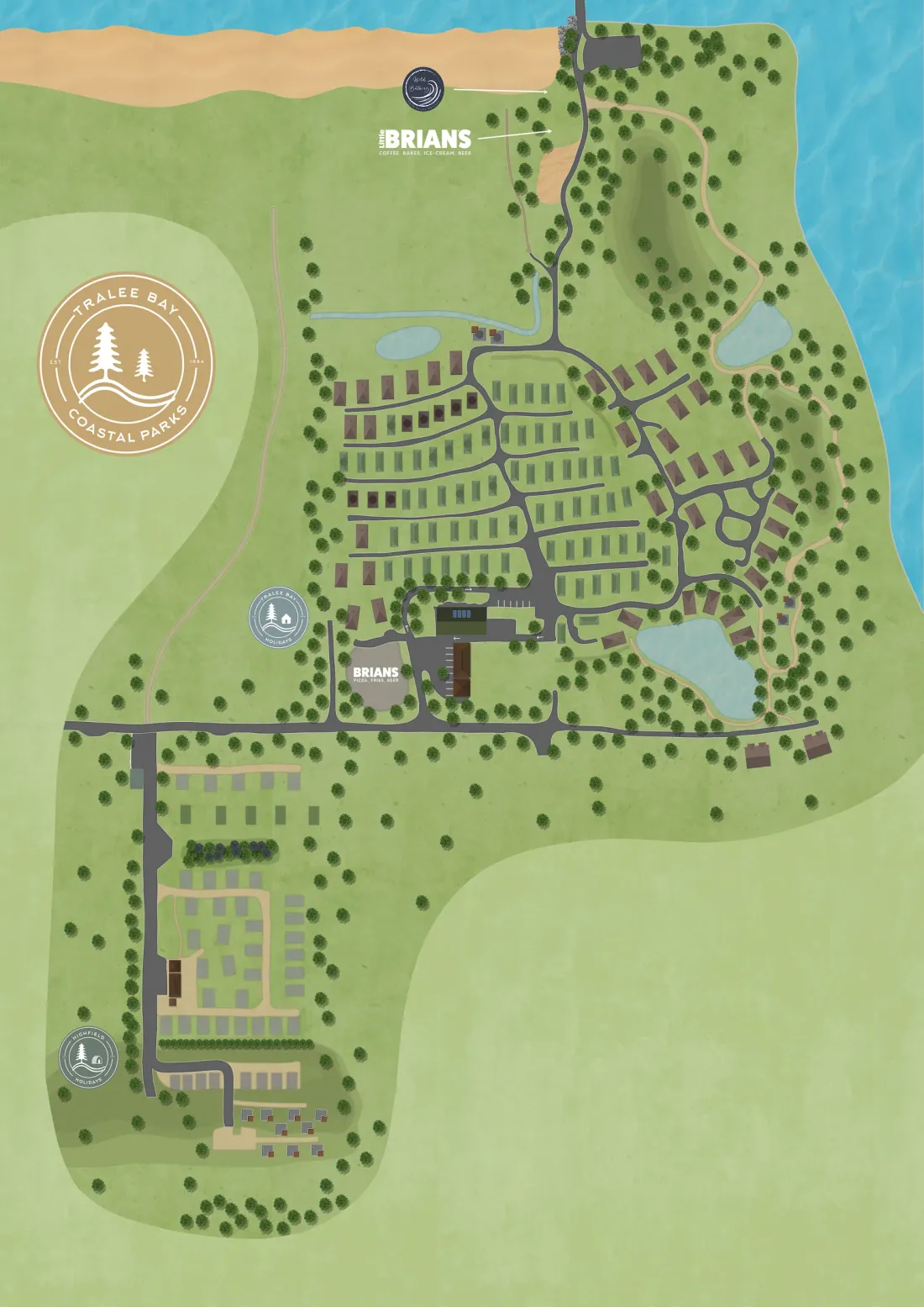
Transport for London’s Street map design standard, issued in August 2011, contains two rules that look at first as if they contradict each other. The maps on its Legible London street signs are drawn “heads-up”, turned so that the top of the map is whatever lies in front of the person reading the sign. The printed version of the same map, used in leaflets and posters, is to be shown north-up, always.
Both rules are right, and the reason is worth a holiday park’s attention, because most parks have both kinds of map and usually draw them the same way.
A fixed map knows which way you are facing
A map on a sign has one advantage that a leaflet never has. It does not move, so it knows where the reader is standing and which way they are looking. TfL’s 2010 description of the Legible London system makes the case for using that: a map already turned to match the street and the direction the user is facing closes the gap between the view ahead and the drawing of it. The reader does not have to rotate anything in their head.
The standard then follows that idea into the detail. The “You are here” marker is drawn to show both the location and the orientation of the sign. By default it sits two thirds of the way down the map and centred, so the map gives more room to what is ahead of the reader than to what is behind them. A small north indicator still goes in one corner, but its stated job is to confirm that the map is heads-up, not to set the orientation.
The printed map gets no such treatment because it cannot. A leaflet is read in a car, on a caravan table, at the bar. Nobody knows which way its reader is facing, so the stable convention of north at the top is the honest choice.
What the research adds, and what it does not
The cost of getting this wrong has been studied. A paper by Grant McKenzie and Alexander Klippel in the Cartographic Journal in 2016 had participants learn routes from maps in nine virtual environments, varying both how the map was aligned and how many landmarks it showed at decision points. Landmarks are usually assumed to help. Their finding was that a misaligned map can cancel out the benefit the landmarks would otherwise have given.
Two honest limits. That study used virtual environments, not a real site, and the published summary does not give the size of the effect. And TfL’s standard is a design rule for city streets, built for London’s pavements rather than tested on a holiday park. Neither says how many guests on any particular park get turned around by a map drawn the wrong way. What they do say, together, is that alignment is not a cosmetic choice, and that London’s street wayfinding system chose to align its fixed maps on purpose.
Where this bites on a park
Think about where a park map usually lives. There is often a board at the entrance or by reception, sometimes a screen in the reception building, a printed map handed over at check-in, and perhaps a map guests open on their phones.
The board and the screen are fixed. They are the maps that could be drawn heads-up and can easily end up drawn exactly like the brochure instead, sometimes with the site’s long side running across the frame because that fits the space best. A guest who reads a board facing south, looking at a map drawn north-up, has to turn the whole park around in their head before they can set off. Tired at the end of a long drive, some will not, and they will head the wrong way down the first road with complete confidence.
The printed map is the reverse case. It should stay north-up, as TfL’s printed maps do, and it should match the shape guests see on the park’s website before they arrive.
A test you can do this week
Stand at each fixed map on your park, the board at the barrier, the one by the shop, the screen in reception if you have one, and look at the map and then up at the view. Is the road in front of you at the top of the map? Is the “You are here” marker telling you which way you are facing, or only where you are?
If the answer is no, it does not mean the map is wrong. It means it was drawn for a leaflet and put on a post. For a printed board, fixing that means a new print turned for that spot. For a digital map on a fixed screen, it is worth asking whoever makes it whether the view for that one screen can be turned to suit the way it faces, while the printed version stays north-up.
None of this needs new information on the map. It is the same park, the same paths, the same shop. It is only a question of which way up the reader meets it.